Bazaar of Landi Kotal

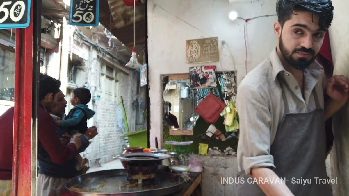
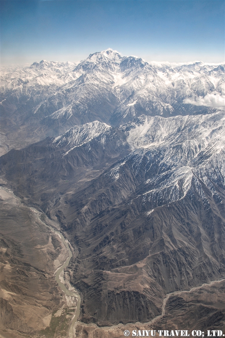
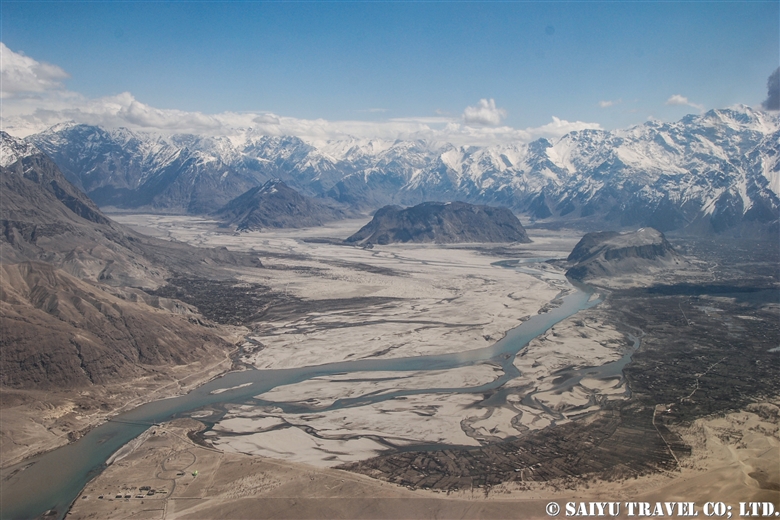
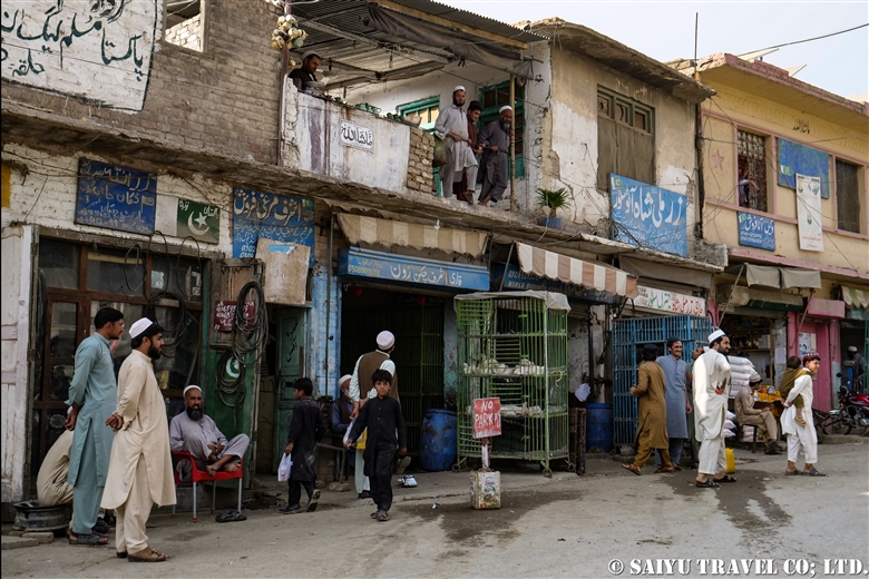
Landi Kotal is a small town, found on the way from Peshawar to the Afghanistan border town of Torkham.  Located in the former Federally Administered Tribal Areas (FATA), it was once known as the “Smuggling Market,” known for trading goods like appliances and car parts into smuggled items like weapons and narcotics. When I first visited around 1992, I was surprised to see chocolate-shaped narcotics lined up in stores.
Now the status of the “Smuggling Bazaar” has disappeared and it is a normal market for rural Pashtun tribes.


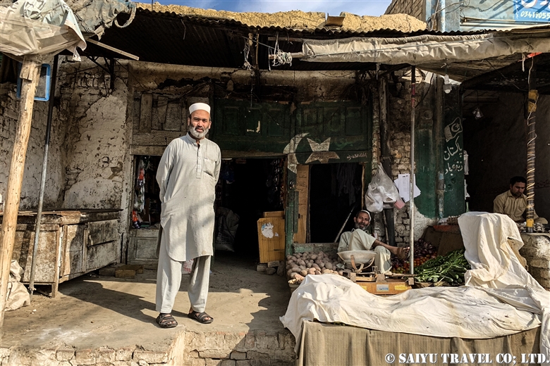
The shop owners call out ‘Hello! Hello!’ to try to earn some business.


When a foreigner pass them by, everyone pays attention! It really reminded me of old Pakistan.


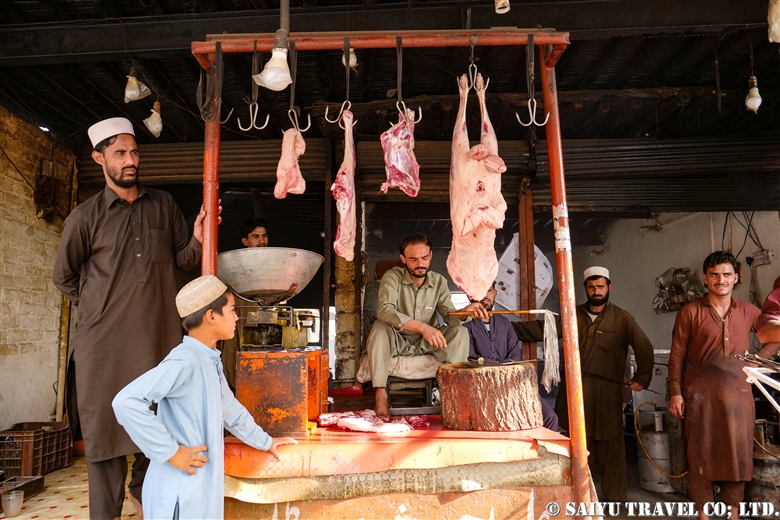
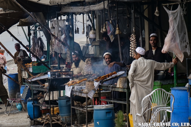
The Pashtun officer who accompanies us, took us to a local butcher shop and request some popular Landi Kotal Domba Sheep. These unique sheep have a big butt which is a delicacy for the locals.


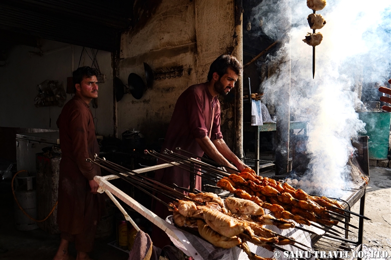
We purchased a cut of meat and it was grilled over charcoal.


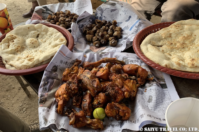
This is a typical Domba sheep lunch. We ate it along with a the local green tea called Kahwa Tea!
By the day, I did not see any women, the whole day.


Photo & Text : Mariko SAWADA

Visit : Oct 2019, Landi Kotal, Khyber-Pakhtunkhwa

Category : - Peshawar / Khyber Pass > ◆Khyber Pakhtunkhwa
Tag : , , , , , , , , , , , , , , ,

Lahore’s Old City Walk

Lahore Walled City Bazaar


Our friends from Switzerland and Mexico went for a stroll through the Old City of Lahore.

The Old City of Lahore, also known as the “Walled City of Lahore,” was established about 1000 years ago as a fortified town surrounded by mudbrick walls and gates. During the Mughal Empire, it prospered as the capital city.

Currently, only a part of the city walls remains. However, since 2012, developments have transformed the Old City into a tourist destination, with the cooperation of the Norwegian and US governments. From the Delhi Gate to the Wazir Khan Mosque, tourists can now enjoy the exciting “Old City Walk”!


Video & text: Mariko SAWADA

Visit: Mar 2020, Lahore, Punjab

Category : = Video Clip Punjab > - Monument / Heritage of Punjab > ◆ Video Breathtaking Views of Pakistan > ◆ Punjab > - Lahore
Tag : , , , , , , , , , , , , , , , ,

Best Views of Nanga Parbat! PIA Pakistan International Airlines ★ Skardu Flight

A panoramic view of the Nanga Parbat massif from a flight from Islamabad to Skardu

These mountain flights in northern Pakistan are often canceled. The reason is, of course, the quickly changing weather in the mountains. Considering that, in the last few years, the flight rate has improved considerably. In particular, if you were to try to move by car the distance of the Skardu flight, it would take two full days by land. But taking this “picturesque flight” it only takes one hour to travel the same distance.

You should really see this scenery from the Skardu flight! For the Skardu line, if taking the regular route (depending on the weather), you will see Nanga Parbat on the right and K2 on the left (if you are lucky!) just before arriving in Skardu. K2 is often hidden by the clouds and is only visible a little at the very end of the flight. So sitting on the Nanga Parbat side will give you more time to enjoy the mountainous view.

When you take off from Islamabad, you will increase altitude while slowly circling up in the Punjab Plain. Soon, you start to see the mountainous view at the western end of the Himalayas. If you look closely below, you can also see the Indus River and the Karakoram Highway running alongside it.


Nanga Parbat is seen as a gigantic mass of mountain. It is 8,126m, the 9th highest peak in the world.


My personal favorite is to see both the Indus River and Nanga Parbat. It’s hard to see in the photo, but below you can see the Indus River and the Karakoram Highway. The Indus River is a large river that crosses the border from Ladakh, India, and enters Pakistan passing through Skardu, and flows beyond that into the Arabian Sea.

This great mountainous region of Pakistan borders the Indus River. The Himalayas to the south of the great river and the Karakorum Mountains to the north of it. This is where the ancient Indian Plate and the Eurasian Plate collided to form these vast mountain ranges.


And in this photo, at the bottom, the altitude of the riverbank of the Indus River is 1,100-1,200m, while at the top, the summit of Nanga Parbat is 8,126m. If you draw a straight line, there is a height difference of 7,000m in a distance of about 23km!


Shortly after the view of Nanga Parbat disappears, you enter the Skardu Valley. Surrounded by the mountains of Karakorum, the open valley of Skardu contrasts so much. It is a magnificent view shaped by the Indus River.


Pakistan International Airlines circles around the town of Skardu, which is like an oasis lined with poplar trees. You will see Satpara Lake and finally land at the airport in Skardu.


Arrived safely in Skardu.

Can you see the mountains if you can’t get the window side? ···Nope!  There is no choice but to take turns looking out the small airplane windows. And…should your flight be cancelled, you have to stay flexible and just be content to enjoy the views of the Karakoram Highway and the mighty Indus River from the car!


Photo & text: Mariko SAWADA

*The photo is taken from the right seat of the actual Pakistan Airlines Skardu flight.

Category : ◆ Gilgit-Baltistan > - Skardu Valley > ◇ Mountain of Pakistan > - Nanga Parbat / Himalaya Range
Tag : , , , , , , , , , , , , , , ,