English / Japanese

Islamabad to Skardu Domestic Flight Report

The domestic flight from Islamabad to Skardu is known for its spectacular mountain scenery when the weather is clear. In particular, Nanga Parbat (8,126m), the world’s ninth highest peak, can sometimes be seen directly in front of you (on the right side window seats (F) during outbound flights and the left side window seats (A) during return flights).


> A Video Showcasing the View of Nanga Parbat From Flight PK451


We generally recommend the Nanga Parbat side, but the view from the other side is quite remarkable as well.
The following is a report of my viewing experiences on both the seat A side (the non-Nanga Parbat side) and the seat F side (the Nanga Parbat side) of PK451, which I recently boarded.

In terms of airlines, both Air Blue and Pakistan International Airlines flights will offer similar views, but it is important to note that the exact scenery you see will differ depending on a number of factors, including the distance and route to Nanga Parbat, the weather, and the captain’s instructions at that time. Please keep that in mind while reading this article.


Detailed timeline of a flight scheduled to depart Islamabad 10:00 a.m.

10:10 Takeoff from Islamabad Airport
10:12 Turn around, heading north.
10:14 (A side) Passing over Islamabad Airport
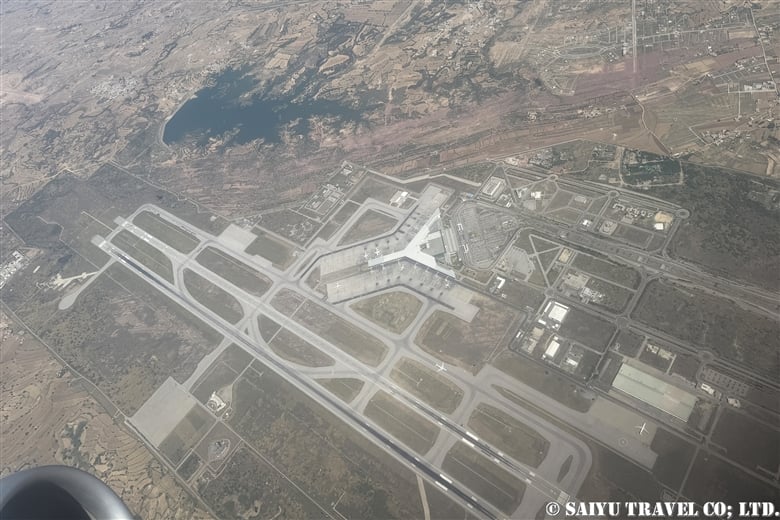
(A side) Passing over Islamabad Airport

10:19-20 (A side) Spotted the Tarbela Dam and the Indus River on the left. During the summer season, the color of the Indus River is muddy due to the melted water from glaciers.

(A side) Spotted the Tarbela Dam

10:20 (A side) Tirich Mir (7,708m), the highest peak in the Hindu Kush, begins to come into view. It is the westernmost peak in the Hindu Kush mountain range, so it is easy to identify. Tirich Mir will remain visible for a while. Noshaq (7,492m), the highest peak of the Hindu Kush in Afghanistan, is just behind Tirich Mir and seems to be hidden from view.

(A side) Tirich Mir (7,708m), the highest peak in the Hindu Kush

10:36 (F side) The 8,126-meter summit of Nanga Parbat lies in front of us. Nanga Parbat itself was visible from a bit earlier in the flight. On this day, we flew a route close to the peak of Nanga Parbat.

(F side)  8,126m peak of Nanga Parbat coming in the view

10:37 (F side) The peak of Nanga Parbat stood directly before our eyes.

(F side) The peak of Nanga Parbat stood directly before our eyes.
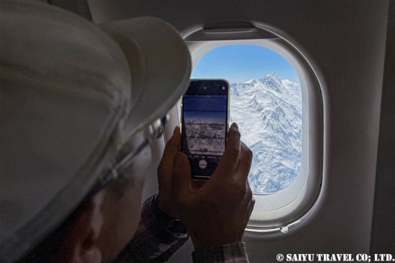
(F side) The peak of Nanga Parbat is within reach of your mobile phone camera.♪

10:38  (A side) The Hunza valley and Rakaposhi (7,788m) can be seen in the distance.
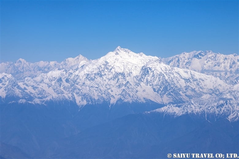
(A side)  Rakaposhi (7,788m)

10:43  (A side) The steep mountains of the Karakorum, Baintha Brakk (7,285m), Ogre Ogre II, and Latok group (Latok I, II, III) along the Biafo Glacier are visible.
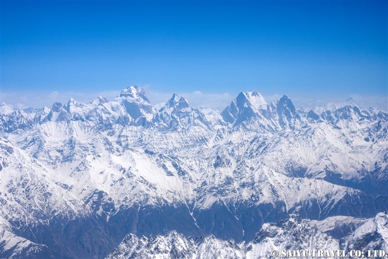
(A side) The towering mountains of Karakoram

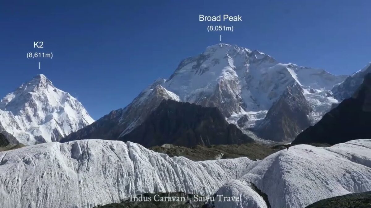
10:44    (A Side) K2 (8,611m), the second highest mountain in the world and Broad Peak (8,051m) begin to come into view. By this time, an in-flight announcement about the descent comes on. As the plane lowered altitude, I was impatient as K2 and other high peaks in the mountains in front of us became less and less visible.
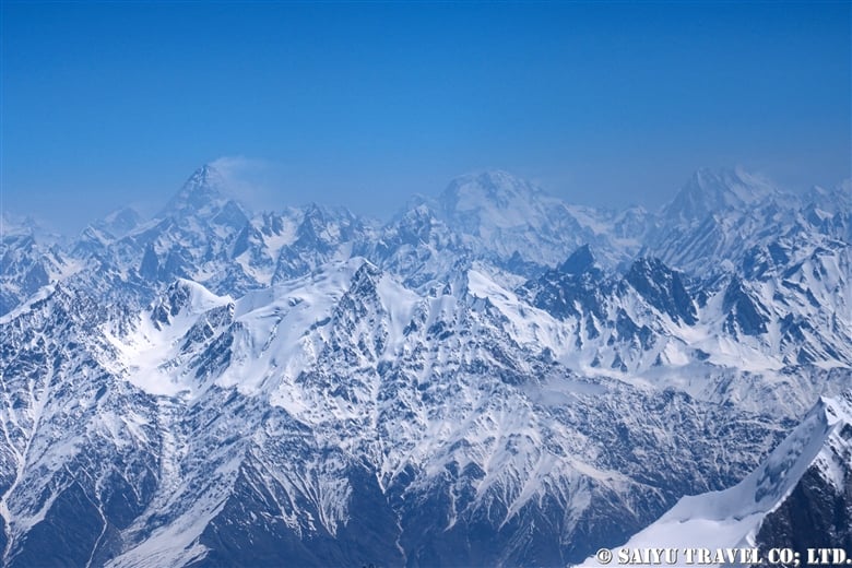
K2 (8,611m), the second highest mountain in the world and Broad Peak (8,051m)

10:45    (A side) K2 and Broad Peak, though only about half of each mountain is visible
10:46   (A side) Started descent. The mountains in the foreground are the peaks of the Shigar Valley, including Peak-B12.
10:46   (A side) The Skardu valley is now spread out in front of us; if seated on the F side, one should be able to see Satpara Lake.
10:47 (A side) I could see the runway of Skardu’s airport, which was built in the desert along the Indus River.

Skardu’s airport, which was built in the desert along the Indus River.

10:50    Turned around for the final approach.
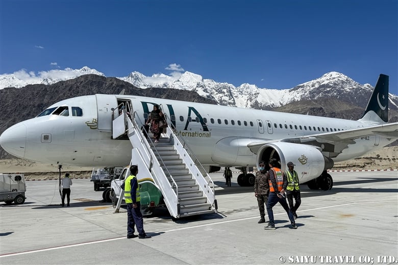
10:52    Landed successfully in Skardu Airport, surrounded by mountains. Most tourists took a picture before disembarking from the aircraft and boarding the bus to the terminal.

Landed successfully in Skardu Airport
Skardu used to have only one flight a day from Islamabad, but now during the summer season, there are also flights from Lahore and Karachi, with six flights a day on domestic routes alone. In addition, international flights from Dubai have also started, and Skardu is rapidly growing as a tourist destination and mountain resort. On a clear day, this flight can definitely be counted among one of the area’s prime tourist highlights!

People often ask me whether I prefer the Nanga Parbat side or the K2 side. To that I would simply say that the Nanga Parbat side (the F side) is the one which allows most people to get the best view the majority of the time (provided, of course, that the weather is good).
The mountains visible from the A-side seats are difficult to recognize without prior study or experience, but for repeated trekkers and climbers to Pakistan, the view on the A-side will also be enjoyable, as they will be able to search for the mountains throughout the flight.

Another question I am often asked is which airline operates more smoothly, Pakistan International Airlines or Air Blue? To be honest, it all comes down to luck.


Image & Text: Mariko SAWADA

Flight Date: 27 April 2025

*The article uses actual time and photos taken during the flight. The view of the mountains on this route may vary depending on the weather and the route taken at that time. We ask that you take this into consideration before booking a flight.

*Contact us, Indus Caravan for more information or to make arrangements for your  stay and adventure  in Pakistan.

*Please follow us on YoutubeInstagram & Facebook


Category : ◆ Gilgit-Baltistan > - Skardu Valley > ◇ Mountain of Pakistan > - Karakorum Range > ◇ Pakistan Travel Tip
Tag : , , , , , , , , , , , , , ,

CONCORDIA 360 DEGREE

We stayed at Concordia on a truly cloudless, crystal clear morning in mid-June. The video was rattled by manual paaning, but I made a 360-degree mountain view video from Concordia.

CONCORDIA 360 DEGREE


Image by Mariko SAWADA

A big thank you to the the whole Baltoro Glacier trekking team for working with us!


Related article

Youtube : Our baltoro Trek in 1 Min !

K2 & Baltoro Glacier Trekking 2022 (Part 1) Skardu to Paiju

K2 & Baltoro Glacier Trekking 2022 (Part 2) Paiju to Khoburtse

K2 & Baltoro Glacier Trekking 2022 (Part 3) Khoburtse to Urdukas

K2 & Baltoro Trekking 2022 (Part 4) Urdukas to GoreⅡ

K2 & Baltoro Trekking 2022 (Part 5) GoreⅡ to Concordia

Staying in Concordia, surrounded by the high Peaks of the Karakorum: K2, Broad Peak, Gasherbrum Mountain Range

★★★★★

*Contact us, Indus Caravan for more information or to make arrangements for your Baltoro Glacier trek.

Category : = Video Clip Gilgit-Baltistan > - Baltoro Glacier & Concordia > ◆ Video Breathtaking Views of Pakistan > - Baltoro Glacier & Concordia > ◆ Gilgit-Baltistan > ◇ Mountain of Pakistan > - Karakorum Range
Tag : , , , , , , , , , , , , , , , , ,

Crossing the Gondogolo La Pass from the Baltoro Glacier

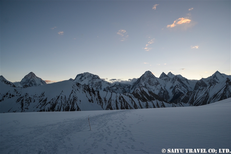
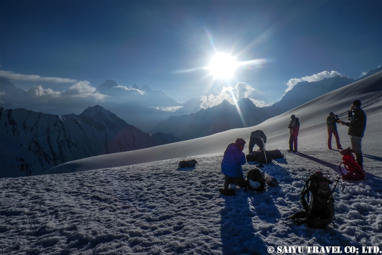
The quiet peak of Karakorum before dawn seen from Gondogolo La (pass). From the left, K2, Broad Peak, G4, G3, G2, G1.


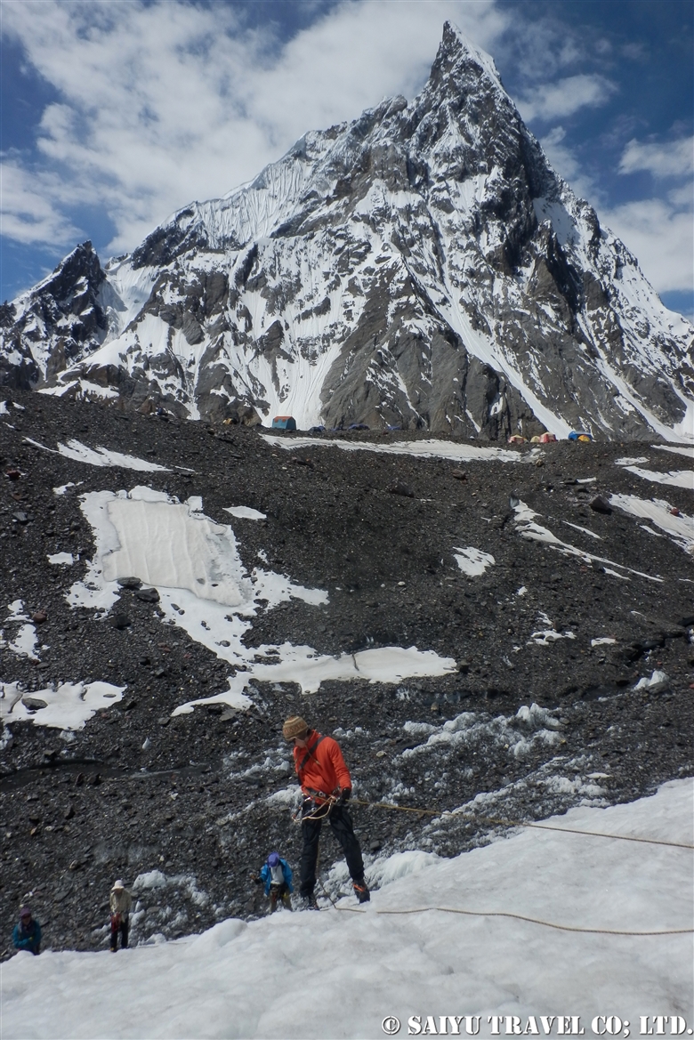
The route over Gondogoro La (at 5,680m), considered to be the ultimate trekking route to see K2, the second highest mountain in the world. As it requires snow wall climbing gear, make sure to check the rope work skill  thoroughly.


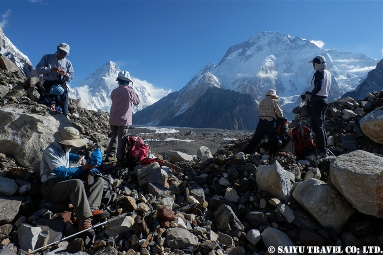
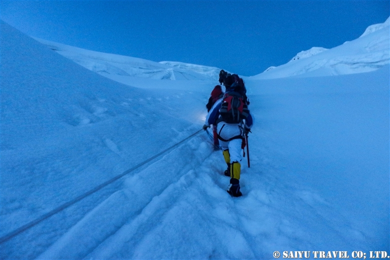
Taking glimpses behind us at K2 and Broad Peak, every now and then, we head toward  our base camp, Ali Camp (5,010m), to get over Gondogoro La. Checking in with the Islamabad office by satellite phone, we get the weather report. Fortunately, it will be clear tonight, so without hesitation, we decide to make our climb before dawn.


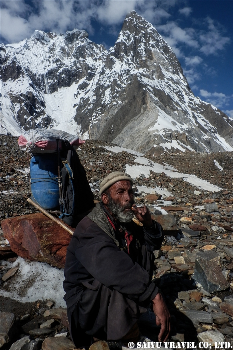
Our porters always carry the heavy equipment that we all use. This elderly man passed us quickly as we all crossed the Gondogoro La Pass, without much difficulty and waited for our mountain descent back at the camp. The local staff are always amazing through it all. Hats off to them for sure.


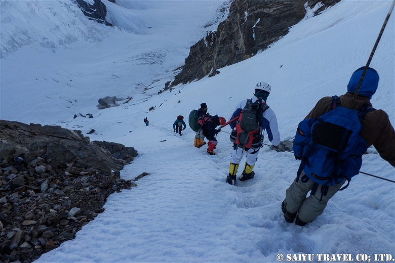
1am: Head out from base camp. Climbing up a snow wall using jumar, with an average slope of 50 degrees.


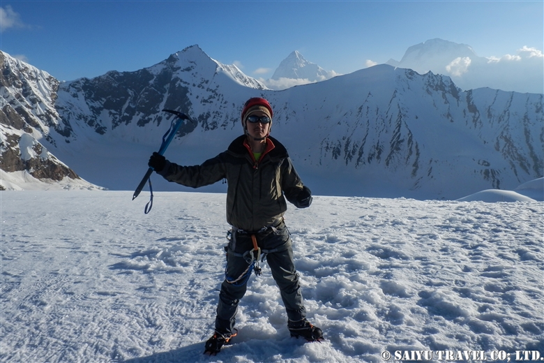
At last, 5:20 on July 6, 2012, we arrived at top of Gondogoro La!
A photo of my youthful self and the ridgeline behind me are K2 and Broad Peak.


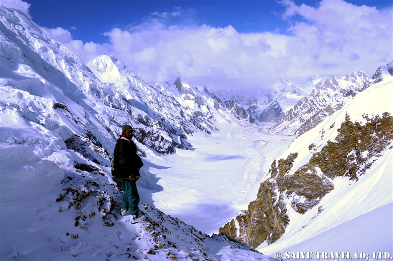
As the sun rises, the down slope becomes a little loose and the risk of avalanche and rockfall increases. We rushed to get down the mountain.


A long, steep descent is more difficult than the climb up.


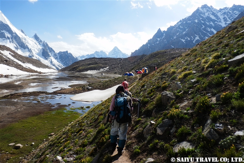
We arrived in a totally different world from the snow and ice world we just left high above. Camping in Khuspang, a lush campsite where so many alpine plants bloom.

I could finally let go of all the tension I was storing until now, and I slept like a log.


Photo & text :  Tomoaki  TSUTSUMI  from the expedition in Jun-July 2012


Category : ◆ Gilgit-Baltistan > ◇ Mountain of Pakistan > - Karakorum Range
Tag : , , , , , , , , , , , , , ,

K1- Masherbrum from Hushe valley

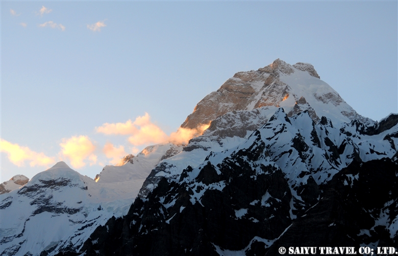
The glorious K1 Masherbrum (7,821 m) seen from the Hushe valley. You can clearly see it from near the Hushe village, but we went towards the camp of Brumbruma a little further.

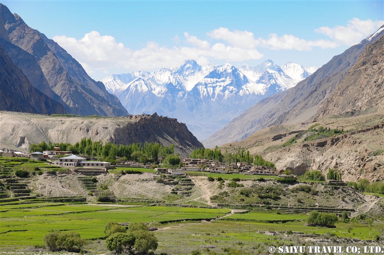
In June, a lush green beautiful village of Hushe. It is a village that is an another gateway to the Karakoram.

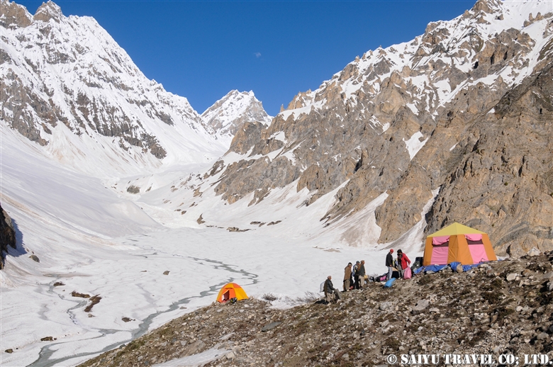
A camp of Brumbruma, 4,500 m above sea level. No doubt, it was a snowy year.

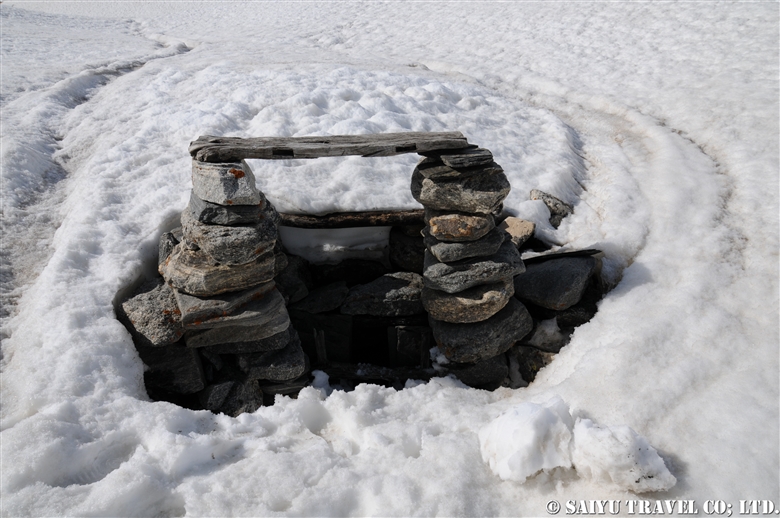
“The Snow Leopard’s trap”, I saw on the way to Brumbruma from the Hushe village. Unquestionably, Snow Leopards must be protected at any cost… This seems to be an old one, and there are a lot of Snow Leopard sightings in the Hushe valley. Villagers here proudly say, “Come in the winter, We will show you the Snow Leopard.”

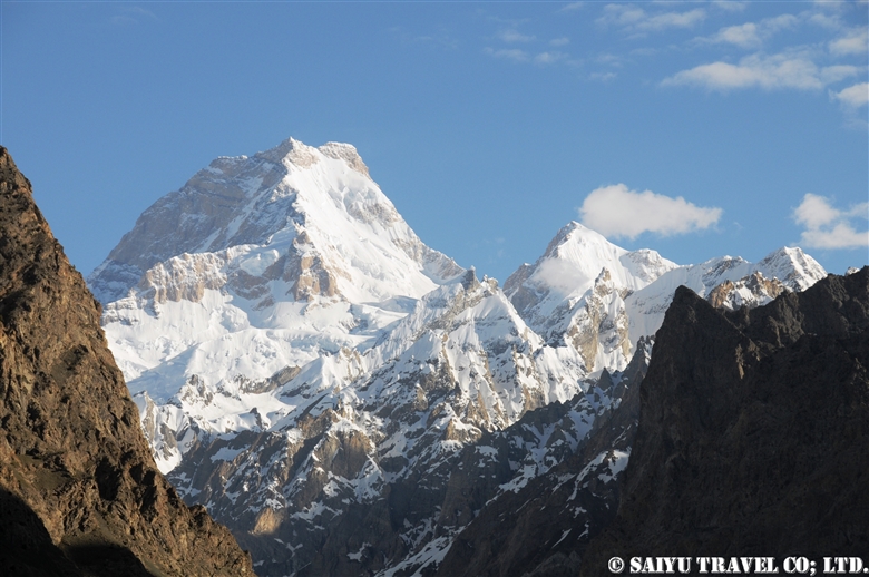
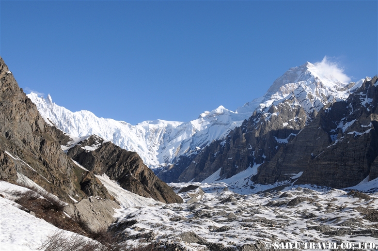
Majestic figure of Masherbrum.

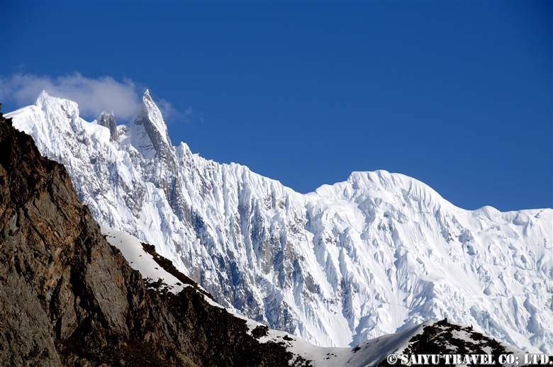
A series of beautiful and sublime ice walls.

From the camp of Brumbruma, Masherbrum in the golden colors of sunset.


Photo & Text : Mariko SAWADA
Visit : Jun 2010, Brumbruma Camp, Hushe Valley, Gilgit -Baltistan

Category : ◆ Gilgit-Baltistan > ◇ Mountain of Pakistan > - Karakorum Range
Tag : , , , , , , , , , , , , , ,

Gondogoro-la from Hushe side, K2 appeared from the clouds

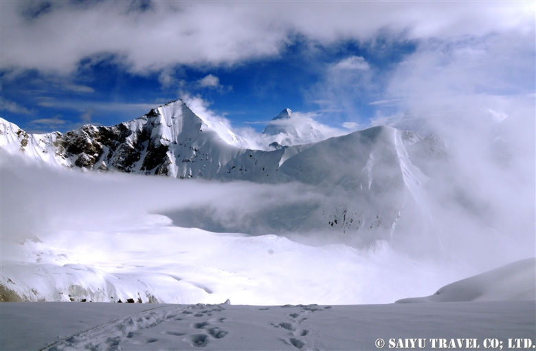
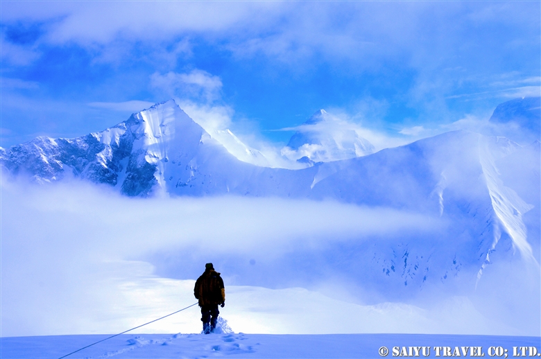
It is a record of a long time ago. In June, when there was a lot of snow, I climbed the Gondogoro La from the Hushe side.
The climbing on the Hushe side was long and challenging. Nevertheless, I continued to climb in the midst of the falling snow, and I was assuring myself not to expect the view of the mighty K2, “I may not see the scenery even if I go up”.
Indeed, it was enveloped in the clouds when we reached. I wanted to wait for a while but we couldn’t relax too much because we were worried about the risk of avalanche on our way back.

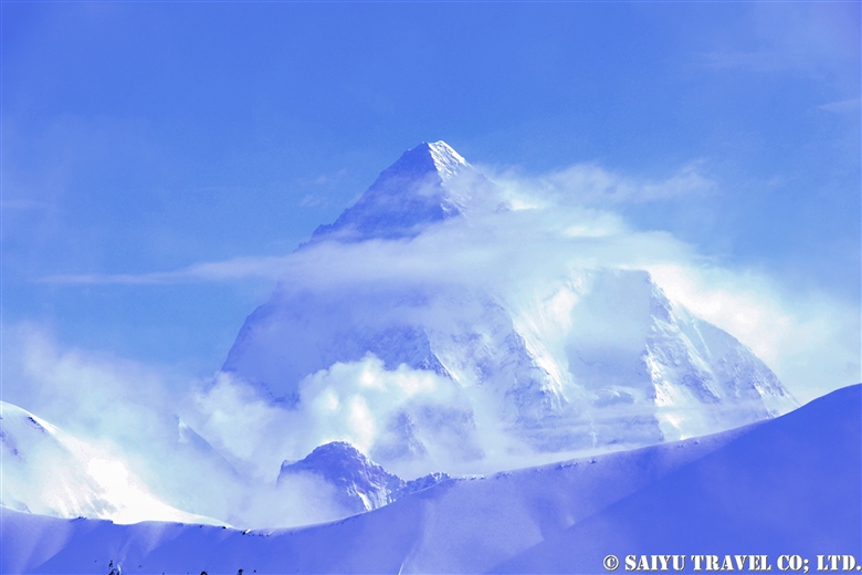
Suddenly, a miracle happened. The clouds ahead of the staff who went to Ali camp direction broke and K2 emerged from within.

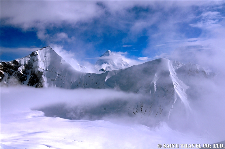
View of K2 from Gondogoro La.

It was for a really short time, and a scene that I felt resembled “Space”.
The camera settings were also crazy during the climbing and the colors were a little funny. Nonetheless, every minute was rewarding.

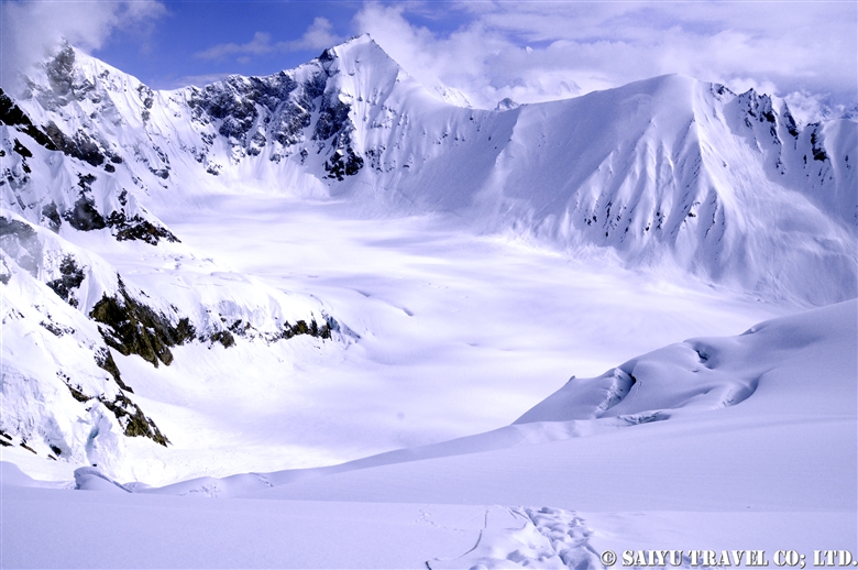
Ali Camp side from Gondogoro La.

The way down to Hushe side, Khuspan Camp.

Finally, I went downhill at once to reach to our camp. At the camp, cook prepared some succulent “Tempura” for me…  it was quite heavy after the climbing!

Photo & Text : Mariko SAWADA
Visit : Jun 2010, Gondogoro-la, Hushe Valley, Gilgit -Baltistan

Category : ◆ Gilgit-Baltistan > ◇ Mountain of Pakistan > - Karakorum Range
Tag : , , , , , , , , , , , , , ,

TOP