(video) Can you find the Snow Leopard? Sighted at Morkhun Village

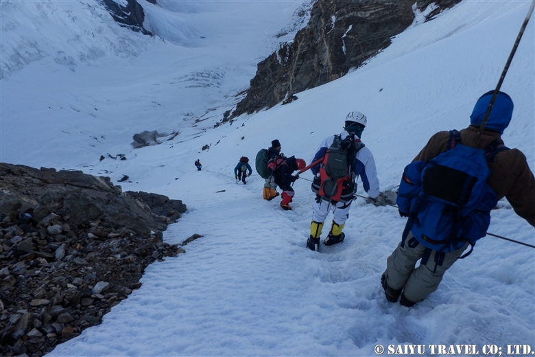
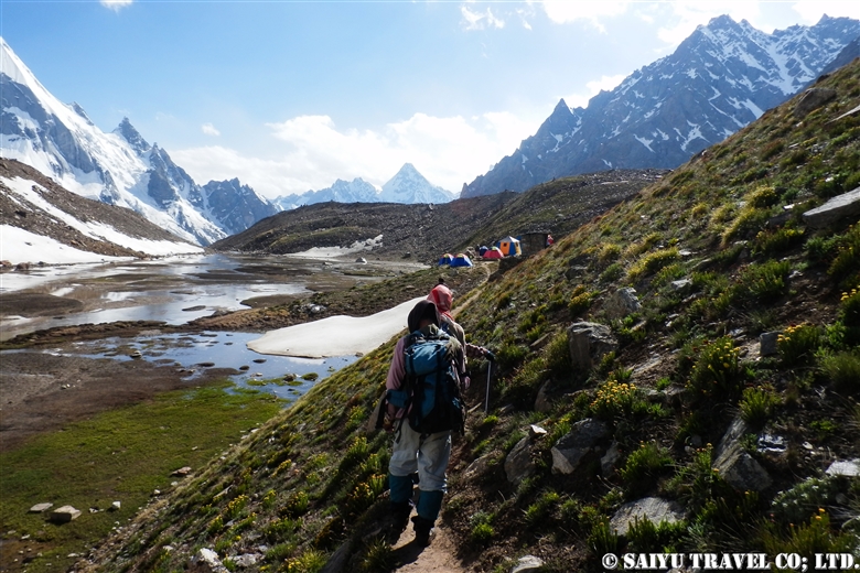
This video shows when we had a sighting of a Snow Leopard in Morkhun Village. The locals were telling us “It’s right there!” but I had such a hard time spotting it for such a long time.

It had eaten an Ibex, and we watched the snow leopard with the local villagers, as it was sleeping on the other side of the river. So many people gathered to watch it, the snow leopard looked a little stressed.

Can you find it? Snow Leopard in Pakistan

In the morning, the snow leopard had killed and fed on the ibex and hid in the bush to rest in the rocks above. This video is of the snow leopard around 3pm, as it woke up. With villagers surrounding it by the time it realized, it looked a bit startled and did not know where to go to escape.

A Startled Snow Leopard in Morkhun Village Pakistan


Video & text :Mariko SAWADA

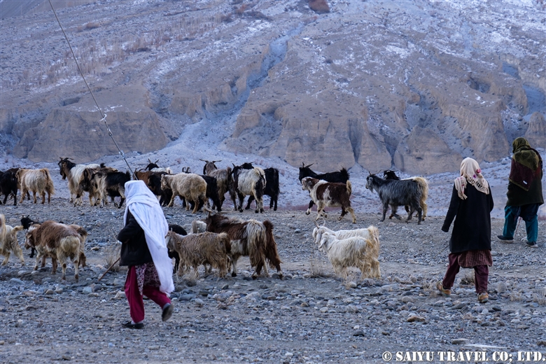
Observation : Jan 2019, Morkhun Village, Gojar, Gilgit-Baltistan

Special Thanks to Mr.Sultan Gohar (Khunjerab National Park)

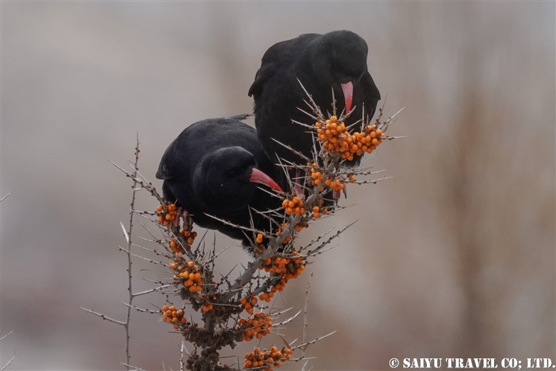
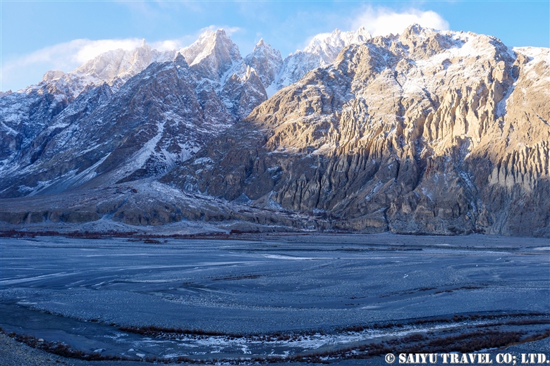
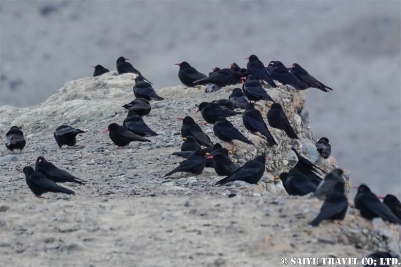
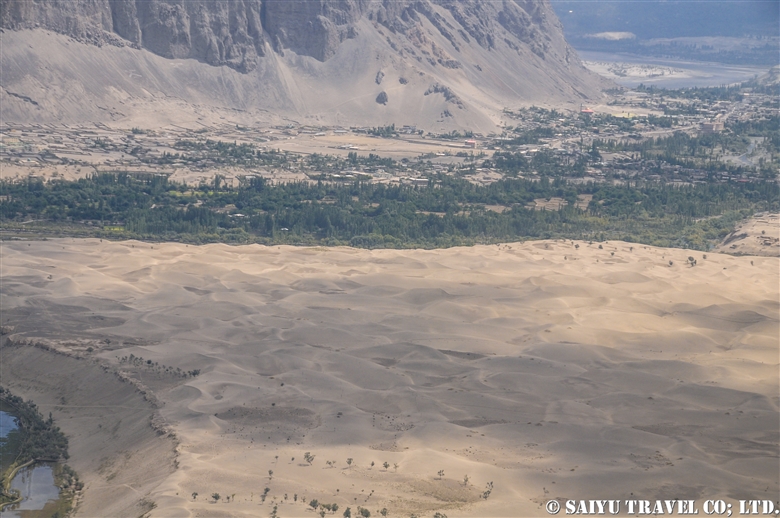
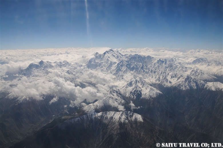
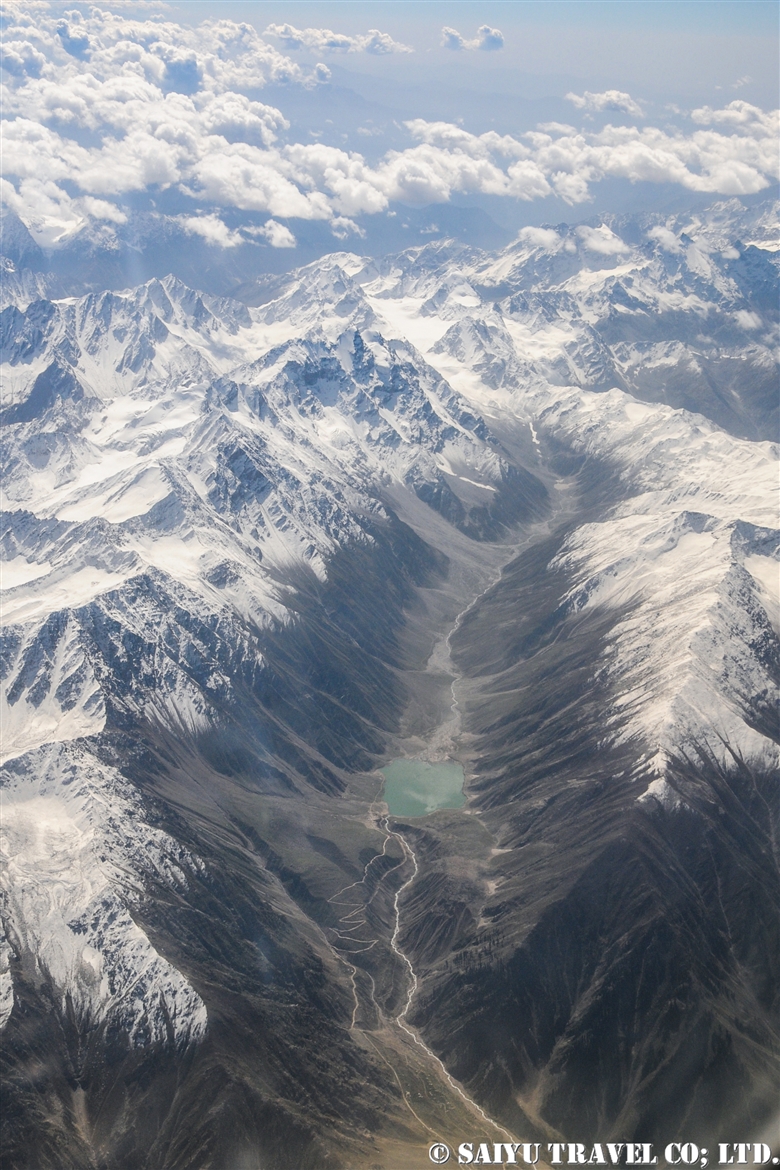
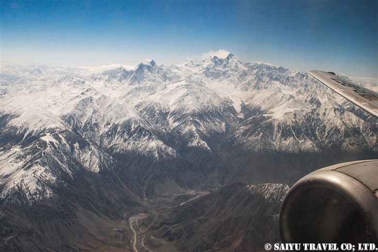
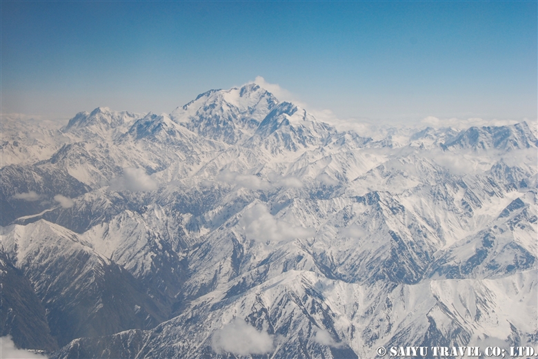
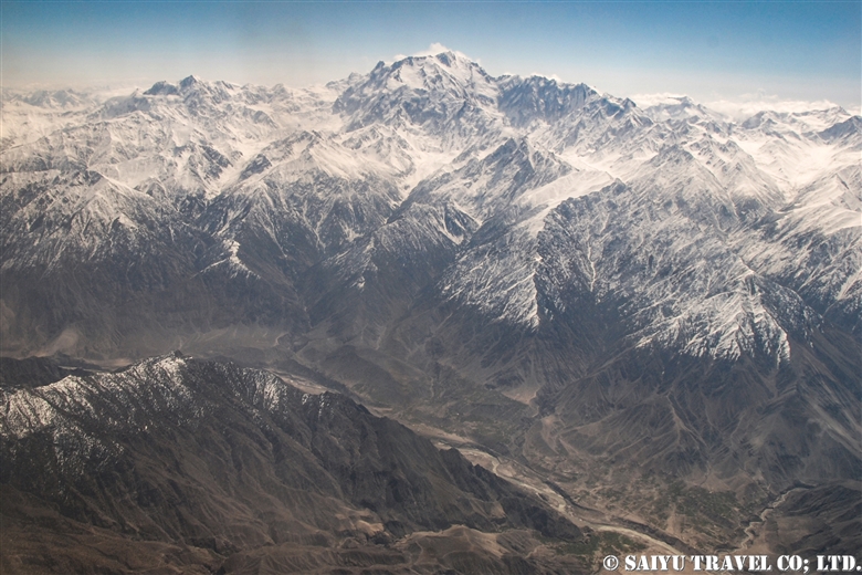
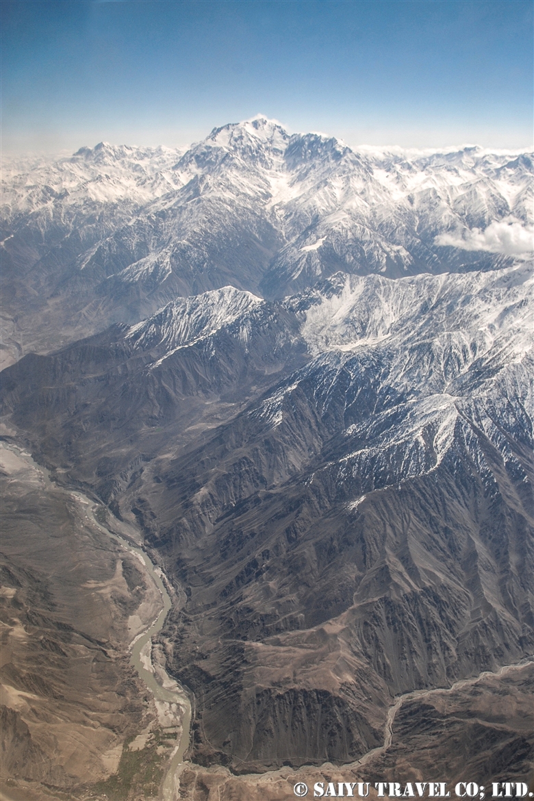
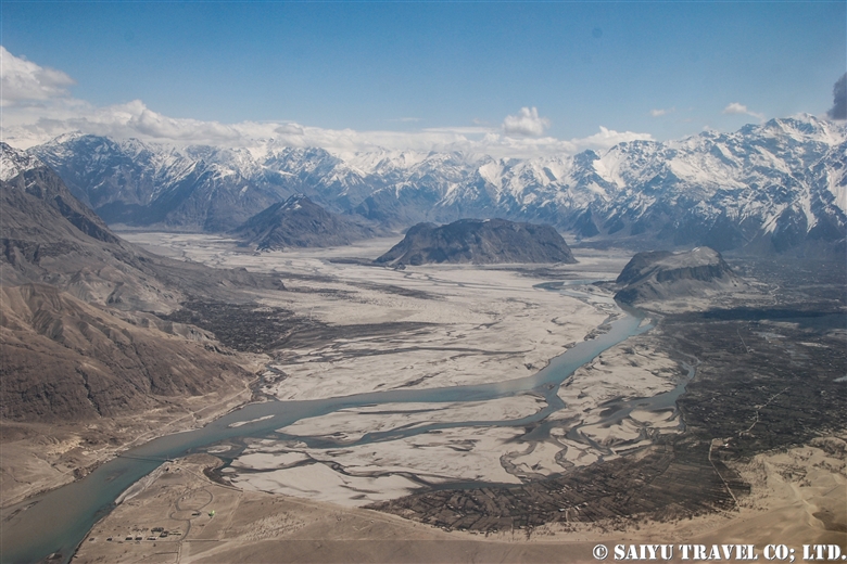
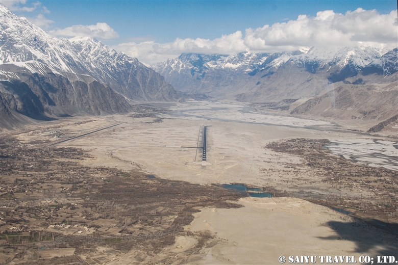
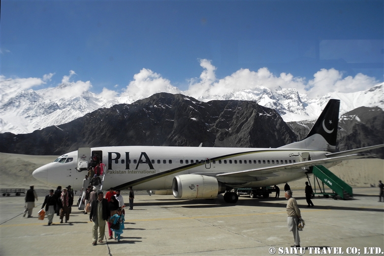
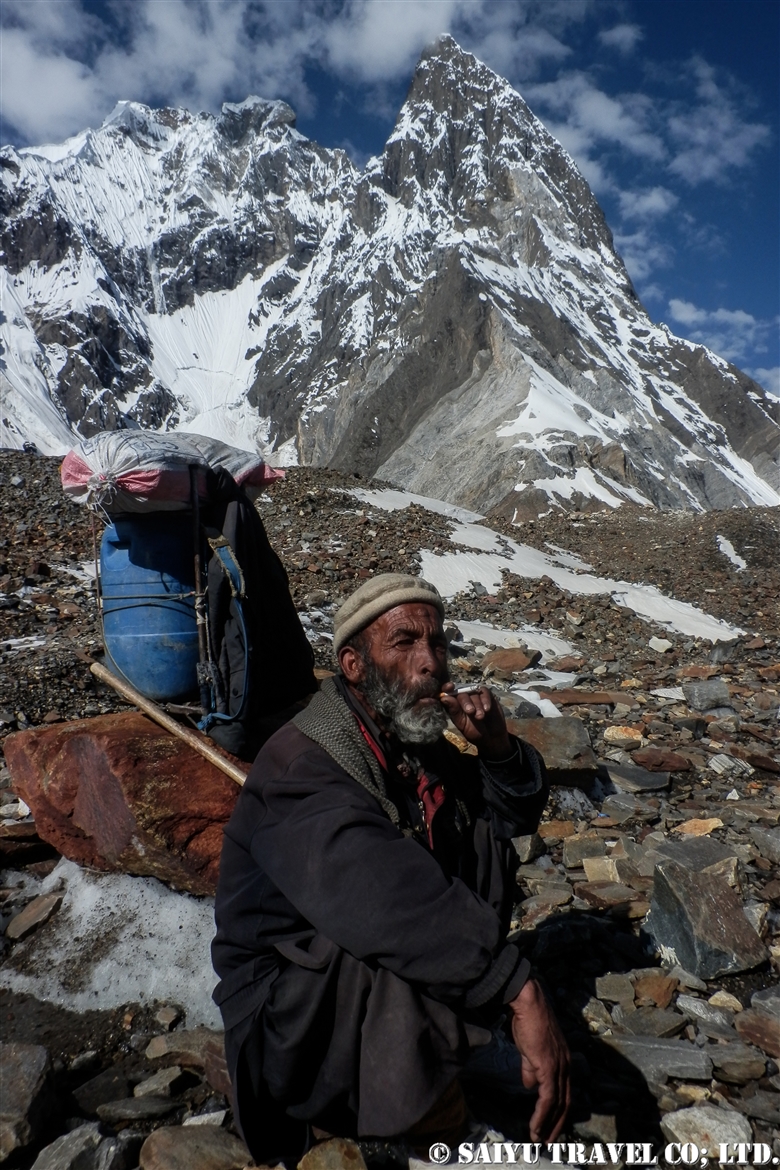
Category : - Snow Leopard > = Video Clip Gilgit-Baltistan > ◆ Video Breathtaking Views of Pakistan > ◆ Gilgit-Baltistan > - Gojar > - Morkhun > ◇ Wildlife of Pakistan
Tag : , , , , , , , , , , , , ,

Red-billed Chough ( Upper Hunza)

In the mountainous areas of northern Pakistan, there are “red billed crows” and “yellow billed crows.”

Strictly speaking, they are classified into the crow family Corvidae and the genus Pyrrhocorax, appropriately called red-billed chough and the yellow-billed chough (also known as Alpine Cough).

‘Chough’ is pronounced “chuf /tʃʌf ” and they breed in the highlands above 5,000m during the summer season. In the winter, they form large flocks and decend down into the valley.

Distributed through the Eurasian and African continents, the genus is divided into eight subspecies. The one found in northern Pakistan is Pyrrhocprax pyrrhocorax himalayanus, which also inhabits the Himalayan mountain region to western China. A prominent feature are the large, bluish-purple glossy wings. In Europe and in Africa, Choughs can be observed at an altitude of 2,000 to 3,000 m, but in the Himalayan Karakorum, there is only a chance to see them at higher elevations of 3,000m to 5,000m.


I could see red-billed choughs along the riverbanks near Morkhun village. In the winter, the upper Hunza is strikingly beautiful, as a vast landscape of jagged rocks etched by time are layered with snow like a masterful piece of art.


While I was watching these red-billed choughs, a herd of goats and sheep passed through to go to their grazing pastures. In the Upper Hunza there are 7 villages that during the summer will keep the yaks, sheep and goats in the Khunjerab national park area. But in the tough winter, only the adult yaks are left in the highlands, while the yearling yaks born in the summer, goats and sheep are brought down to the villages at around 3,000m. Then everyday these herds are taken to the pastures to graze.


The paths that the villagers use to move the herds are lined with red & yellow billed chough. Generally since the red-billed will form large flocks, there are usually a smaller number of yellow-billed chough in the groups.


These are flocks of red-billed chough that are gathering seeds or fruit from the trees along the side of the Karakoram Highway.

Hippophae rhamnoides are a deciduous shrub found widely in Eurasia. In north Pakistan, it is a very important tree for wild birds, whose fruits are eaten during this harsh winter.


The long, curved, red colored beaks. But that isn’t the only thing that red! Their legs are also a red color!

Keep a watchful eye out when you are in the Upper Hunza and Skardu areas in the winter months. At first you may think you are seeing crows…but actually you might be lucky to see black birds adorned with red and yellow beaks! It is no ordinary crow!


Photo & text : Mariko SAWADA
Observation : Dec 2020, On the KKH ( Morkhun – Sost),  Gilgit-Baltistan
Special Thanks : TOMO Akiyama

Category : ◆ Gilgit-Baltistan > - Gojar > - Morkhun > ◇ Birds of Pakistan
Tag : , , , , , , , , , , , , , , , , , , ,

Pakistan International Airlines, take off from Skardu! The full picture of Nanga Parbat!

This is a description of my flight from Skardu to Islamabad using Pakistan International Airlines.

The Gilgit flight is usually very early in the morning, and due to the sunrise from behind the Nanga Parbat, everything looks white. However, the Skardu flight takes off a little later, when the sun is higher up in the sky. So it means the mountains are beautifully illuminated, although it may be a little cloudier when compared to the early morning hours.


When you take off from the Skardu Airport, you will see the outlying villages on the edges the city, poplar-lined streets, the Indus River, and boundary of the Katpana Desert.


The Skardu Fort, also known as Kharpocho, was built on a cliff along the Indus River in the 16th century.


Sand dunes in the Cold Desert can be seen stretching from the Skardu Valley to the Shigar Valley. It is a rare desert at a high altitude of about 2,500 m, which is quite unique in the world. The sand dunes are small and scattered from Ladakh, India’s Nubra Valley to Skardu but the dunes get bigger and more beautiful in the area from Skardu to Shigar.


This is Nanga Parbat, the 9th highest peak in the world. When I left Skardu, I thought it would be too cloudy and we wouldn’t be able to see it, but the southwestern side was clear.


The summit looked to be very windy, blowing the snow off the peak.


The main peak of Nanga Parbat is at an elevation of 8,126m, and the banks of the Indus River are at about 1,100m. So from the window of the plane, you can see the topography with a height difference of 7,000 m! It’s a really rare opportunity to be able to see 23 kilometers straight down and be able to compare the height of the mountains.


And this is the whole picture of the Nanga Parbat massif. The north side Chongra Peak, Raikot Peak, and the Main Peaks.


This is deep in the Naran Valley, Saiful Maluk Lake. It used to be such a pristine place, but regrettably, it has become a sad example of a tourist destination that has become full of garbage, due to the increase in visitors in recent years.

Well, we are coming back to reality now, and soon we’ll enter the Punjab Plain and touchdown at Islamabad.


Photo & Text : Mariko SAWADA
※These photos were taken on a September flight from Skardu to Islamabad on Pakistan International Airlines.

Category : ◆ Gilgit-Baltistan > - Skardu Valley > - Nanga Parbat / Himalaya Range
Tag : , , , , , , , , , , , , , ,

Best Views of Nanga Parbat! PIA Pakistan International Airlines ★ Skardu Flight

A panoramic view of the Nanga Parbat massif from a flight from Islamabad to Skardu

These mountain flights in northern Pakistan are often canceled. The reason is, of course, the quickly changing weather in the mountains. Considering that, in the last few years, the flight rate has improved considerably. In particular, if you were to try to move by car the distance of the Skardu flight, it would take two full days by land. But taking this “picturesque flight” it only takes one hour to travel the same distance.

You should really see this scenery from the Skardu flight! For the Skardu line, if taking the regular route (depending on the weather), you will see Nanga Parbat on the right and K2 on the left (if you are lucky!) just before arriving in Skardu. K2 is often hidden by the clouds and is only visible a little at the very end of the flight. So sitting on the Nanga Parbat side will give you more time to enjoy the mountainous view.

When you take off from Islamabad, you will increase altitude while slowly circling up in the Punjab Plain. Soon, you start to see the mountainous view at the western end of the Himalayas. If you look closely below, you can also see the Indus River and the Karakoram Highway running alongside it.


Nanga Parbat is seen as a gigantic mass of mountain. It is 8,126m, the 9th highest peak in the world.


My personal favorite is to see both the Indus River and Nanga Parbat. It’s hard to see in the photo, but below you can see the Indus River and the Karakoram Highway. The Indus River is a large river that crosses the border from Ladakh, India, and enters Pakistan passing through Skardu, and flows beyond that into the Arabian Sea.

This great mountainous region of Pakistan borders the Indus River. The Himalayas to the south of the great river and the Karakorum Mountains to the north of it. This is where the ancient Indian Plate and the Eurasian Plate collided to form these vast mountain ranges.


And in this photo, at the bottom, the altitude of the riverbank of the Indus River is 1,100-1,200m, while at the top, the summit of Nanga Parbat is 8,126m. If you draw a straight line, there is a height difference of 7,000m in a distance of about 23km!


Shortly after the view of Nanga Parbat disappears, you enter the Skardu Valley. Surrounded by the mountains of Karakorum, the open valley of Skardu contrasts so much. It is a magnificent view shaped by the Indus River.


Pakistan International Airlines circles around the town of Skardu, which is like an oasis lined with poplar trees. You will see Satpara Lake and finally land at the airport in Skardu.


Arrived safely in Skardu.

Can you see the mountains if you can’t get the window side? ···Nope!  There is no choice but to take turns looking out the small airplane windows. And…should your flight be cancelled, you have to stay flexible and just be content to enjoy the views of the Karakoram Highway and the mighty Indus River from the car!


Photo & text: Mariko SAWADA

*The photo is taken from the right seat of the actual Pakistan Airlines Skardu flight.

Category : ◆ Gilgit-Baltistan > - Skardu Valley > ◇ Mountain of Pakistan > - Nanga Parbat / Himalaya Range
Tag : , , , , , , , , , , , , , , ,

Crossing the Gondogolo La Pass from the Baltoro Glacier

The quiet peak of Karakorum before dawn seen from Gondogolo La (pass). From the left, K2, Broad Peak, G4, G3, G2, G1.


The route over Gondogoro La (at 5,680m), considered to be the ultimate trekking route to see K2, the second highest mountain in the world. As it requires snow wall climbing gear, make sure to check the rope work skill  thoroughly.


Taking glimpses behind us at K2 and Broad Peak, every now and then, we head toward  our base camp, Ali Camp (5,010m), to get over Gondogoro La. Checking in with the Islamabad office by satellite phone, we get the weather report. Fortunately, it will be clear tonight, so without hesitation, we decide to make our climb before dawn.


Our porters always carry the heavy equipment that we all use. This elderly man passed us quickly as we all crossed the Gondogoro La Pass, without much difficulty and waited for our mountain descent back at the camp. The local staff are always amazing through it all. Hats off to them for sure.


1am: Head out from base camp. Climbing up a snow wall using jumar, with an average slope of 50 degrees.


At last, 5:20 on July 6, 2012, we arrived at top of Gondogoro La!
A photo of my youthful self and the ridgeline behind me are K2 and Broad Peak.


As the sun rises, the down slope becomes a little loose and the risk of avalanche and rockfall increases. We rushed to get down the mountain.


A long, steep descent is more difficult than the climb up.


We arrived in a totally different world from the snow and ice world we just left high above. Camping in Khuspang, a lush campsite where so many alpine plants bloom.

I could finally let go of all the tension I was storing until now, and I slept like a log.


Photo & text :  Tomoaki  TSUTSUMI  from the expedition in Jun-July 2012


Category : ◆ Gilgit-Baltistan > ◇ Mountain of Pakistan > - Karakorum Range
Tag : , , , , , , , , , , , , , ,

Blue-throated barbet (Margalla Hills)

Blue-throated barbet observed at Margalla Hills, Trail No. 5 in Islamabad.


Blue-throated barbet is a barbet which can be seen in the forests spread throughout from the Indian subcontinent to Southeast Asia. It has a very distinct beautiful bright blue colored face and throat.


In Pakistan, Blue-throated barbet can only be seen in the forest around Murree hills.

Photo & Text : Mariko SAWADA
Observation : End of OCT, Margalla Hills National Park – Trail No5, Islamabad
Reference : Helm Field Guide “Birds of Pakistan”

Category : - Margalla Hills > ◆ Islamabad > ◇ Birds of Pakistan
Tag : , , , , , , , , , , , ,

Rufous-bellied niltava (Margalla Hills)

This is Rufous-bellied niltava that I encountered at Margalla Hills, Trail No.5.


Rufous-bellied niltava is found in temperate forests from South China to Southeast Asia and South Asia.

In Pakistan, it is found in Murree and Kaghan Valley, which are the southern foot of the Himalayas at an altitude of 1,800m to 2,600m . In winter it descends down to a lower place.


I went on Saturday at 7 am, before going to Office, but already many people were walking on the trail.

Photo & Text : Mariko SAWADA
Observation : End of OCT, Margalla Hills National Park – Trail.No.5, Islamabad
Reference : Helm Field Guides “Birds of Pakistan”

Category : - Margalla Hills > ◆ Islamabad > ◇ Birds of Pakistan
Tag : , , , , , , , , , , , ,

Sunrise at Gorakh Hill Station

Gorakh Hill is a popular tourist destination in Sindh.

Drive to west from N55 (commonly known as the Indus Highway), it is a plateau of 1,700m above sea level in the Kiltar Mountains. View is similar to mountainside of Balochistan and the people who live along the road are Baloch people.

The name of Gorakh is derived from a Hindu devotee who believes in Shiva. Yes, Sindh is the state where 94% of Pakistani Hindus live.


The altitude rose from the plains of Sindh and finally we came above the clouds! This is the trail which can be done only by 4WD and it took a lot of time, so we missed the sunset on this day.


Despite that bad road, it is a busy place for tourists coming from urban areas such as Karachi on weekends. Since we visited on weekdays, there were only a few groups, but sometimes it could exceed 1000 people. Coming from hot place to a cool plateau, watching sunset and sunrise, campfire at night … such a trip is very popular among young tourists.


We went to the Benazir viewpoint to see sunrise.


Good Morning, Gorakh hill !


A villa-like building was built in a nice view of the plateau. Will it eventually become like Murre in the suburbs of Islamabad? I wanted to leave a magnificent view of the Kirthar Mountains and it’s nature.


This is the viewpoint … located edge of plateau.


After the sunrise, breakfast was served in a restaurant run by Juman Jamali.
The experience at Gorakh hill …. I couldn’t think that I am in Sindh.

Photo  & Text : Mariko SAWADA * Some photos are taken by drone.
Visit: Nov 2019, Gorakh Hill Station, Dadu, Sindh


Category : - Gorakh Hills > ◆ Sindh
Tag : , , , , , , , , , , , , ,

How to apply for Pakistan e-VISA

Pakistan’s VISA is now available online.

We had a report from our foreigner client who traveled on an e-VISA recently. Below is the step by step process of application and precautions required, as of Oct 2019.

Necessary items:
PC, passport, credit card, face photo data, hotel reservation certificate.
Fee: $ 8.18 (as of October 2019)

Application site : https://visa.nadra.gov.pk

Access the above site from your PC.
**Note : Website is not displayed with browsers other than Google Chrome or Firefox.


This screen will appear when you access it.
Click “Visit Visa” in the red frame.


Then click “Tourist Visa”.


Click “Apply Now”.


First, you need to create an account.
Click “CREATE A NEW ACCOUNT”.


Fill in all the blanks and check the checkbox at the end. Click “SAVE AND CONTINUE”.
* *Note: Password must contain at least 8 characters, including upper and lower-case letters, numbers and symbols.


If such a screen is displayed, it is success till this point.


An e-mail like above will be sent to the registered email address.
Continue clicking “Continue Registration”.


Type in the 4-digit pin code you received via e-mail. Fill in the remaining blanks and activate your account. Click “VERIFY”.


Once your account is activated, login again with the email address and password you registered earlier.


Check and click “Accept and Continue”.


Select “Your Country” from the tab. Click “START E-VISA APPLICATION” … Finally from this step onwards you start applying for e-VISA.
Afterwards, fill the red stars blank space along the flow.

After entering all necessary items, you need to upload 3 documents.
1 Passport copy
2 Face photo
3 Hotel reservation certificate

(If you live in a third country, visa or work certificate of that country)

You can upload files up to 350KB, so adjust the size and upload one by one.


The application will finish once the payment through credit card is completed.


About 10 days after applying, I received a Visa approval e-mail.
Copy and Print e-Visa from the email link and take it with you.
**Note : You will be asked to submit at immigration and hotel / flight check-in, checkport etc.. . Keep it always with your passport.


When you arrive at the airport, first you have to go to the e-Visa counter.
It is necessary to have a sign and stamp like the image above.
After that, you will line up in the immigration counter for foreigners.
Pakistan has made easy access for individual travelers to obtain visa.
Please use it when you travel to Pakistan.

This information is what our foreign client has experienced in November 2019.
The content/condition of obtaining e-visa may change. Be sure to check the website https://visa.nadra.gov.pk by yourself and apply with enough time before traveling to Pakistan.


Text :Mariko SAWADA


* The article is based on information as of November 28, 2019. It does not guarantee the acquisition of a visa. In the future, e-VISA application sites and acquisition conditions may change. Please be sure to check the latest https://visa.nadra.gov.pk information. In addition, please make an application with enough time before departure.

* I have heard that the above site does not open in India. Please be careful  if you live in India or traveling in India.

Crossing India-Pakistan border and Flag ceremony at Wagha .

Category : ◇ Pakistan Travel Tip
Tag : , , , , , , , , , , ,

Stoat of Deosai Plateau

It is a Stoat, also known as a short-tailed weasel, which I observed at Deosai National Park, in October.
The morning and evening temperatures were below freezing point during this season. The Stoat was completely engulfed in white winter fur; protected from the predators and the harsh cold weather.

A Stoat is widely distributed in northern Eurasia continent and North America. In Pakistan, it is found in the northern mountainous areas.

There was no one where we stayed at Bara Pani campsite. A calm and peaceful place and only cold wind were blowing… Ultimately, a Stoat came quite close to us without any fear! Thus, we had the perfect opportunity to photograph it.

Photo & Text : Mariko SAWADA
Observation: Oct 2015, Deosai Plateau, Deosai National Park, Gilgit-Baltistan

Category : ◆ Gilgit-Baltistan > - Deosai National Park > ◇ Wildlife of Pakistan
Tag : , , , , , , , , , , , , , ,