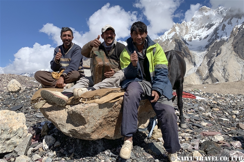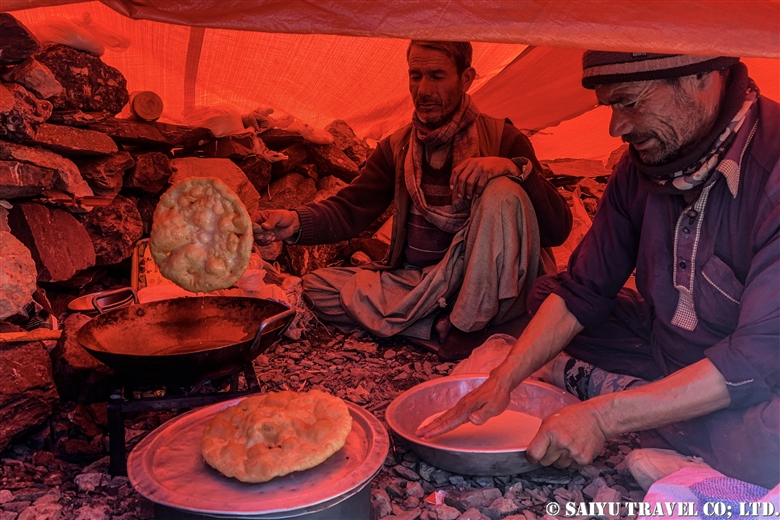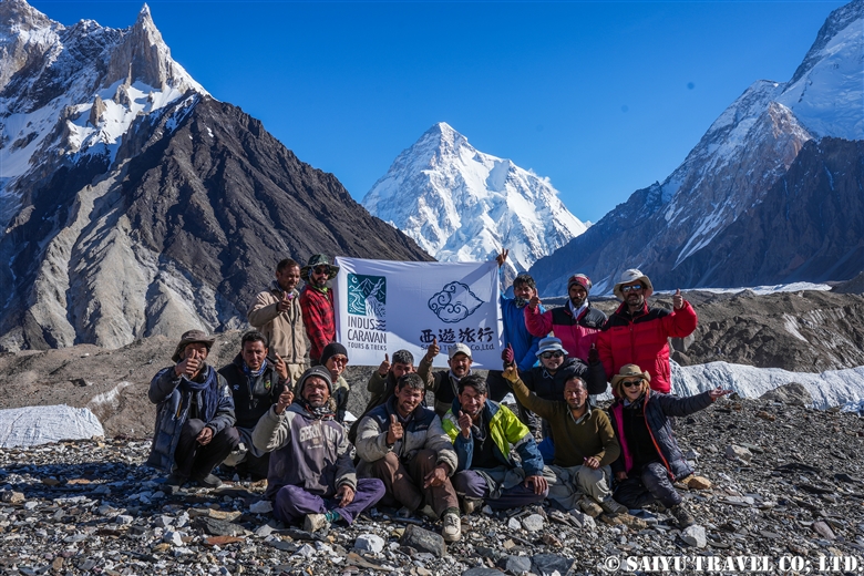
Here’s a staff-centric video clip of our first post-pandemic Bartolo Glacier trek in June 2022! Well done to all the guides, kitchen staff, sardars, and porters who made the round trip to Concordia multiple times this season!
Our Baltoro Trek in 1 min
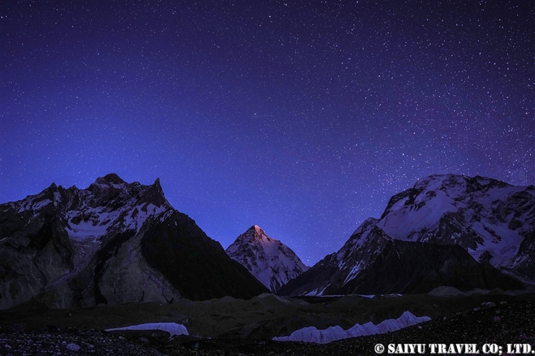
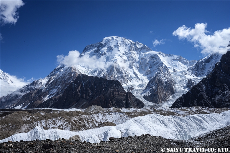
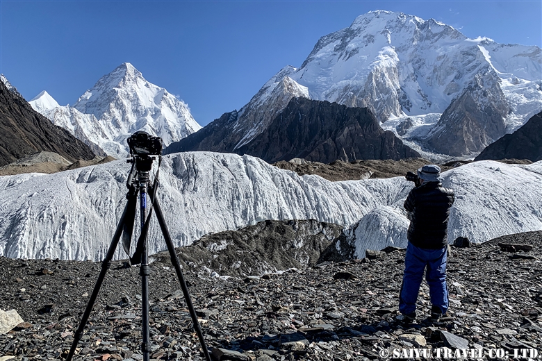
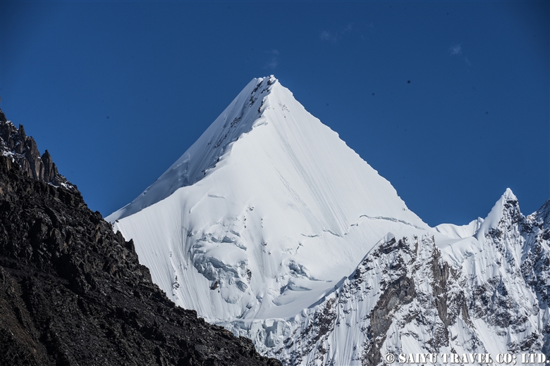
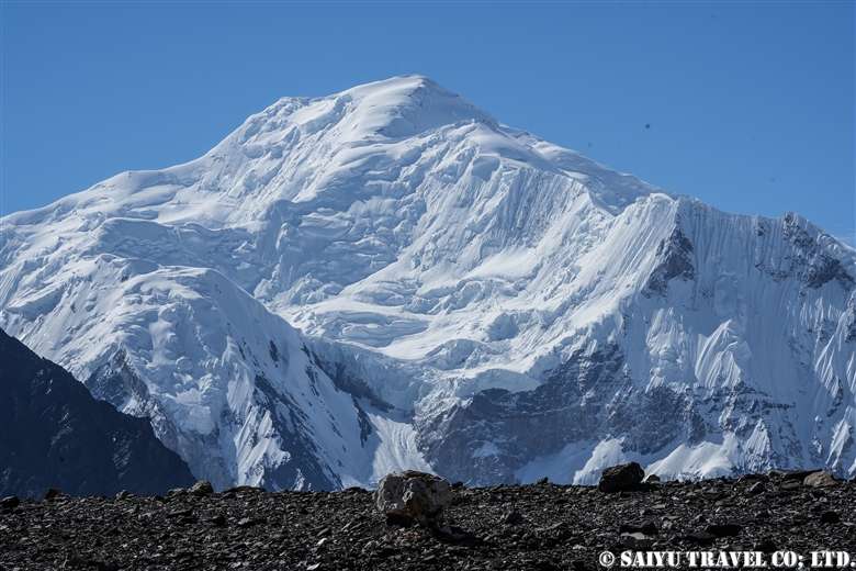
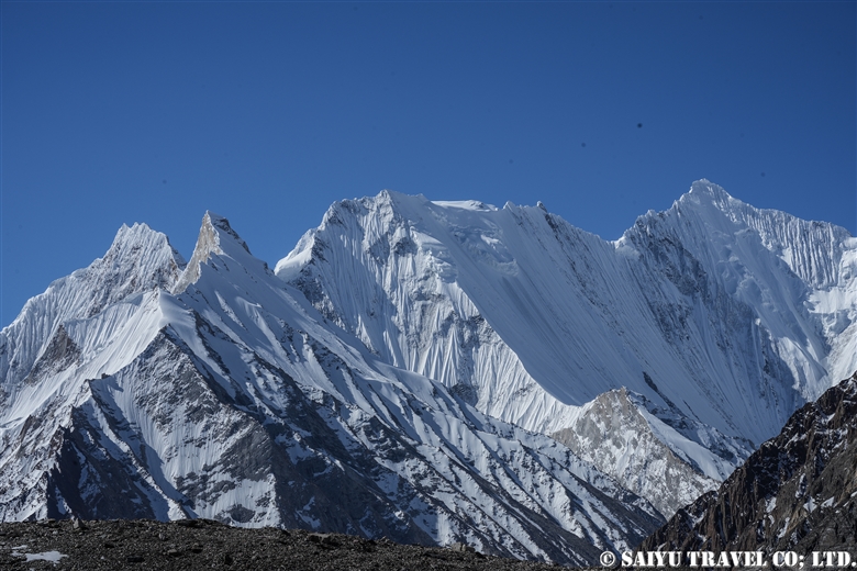
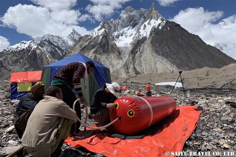
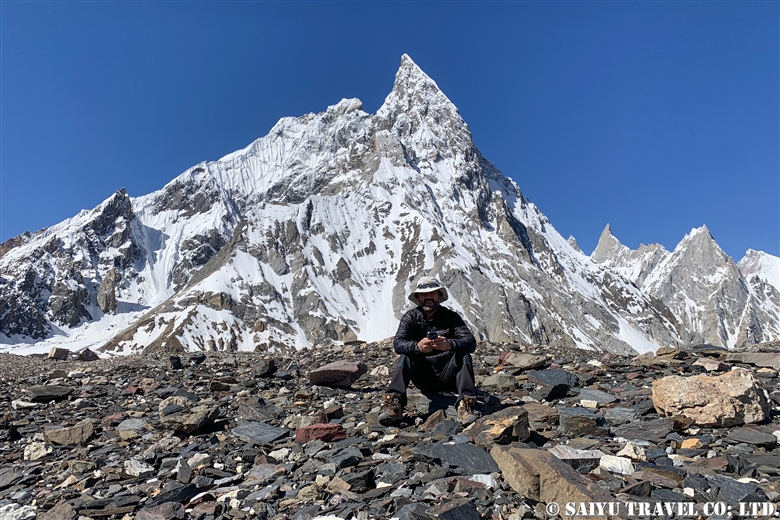
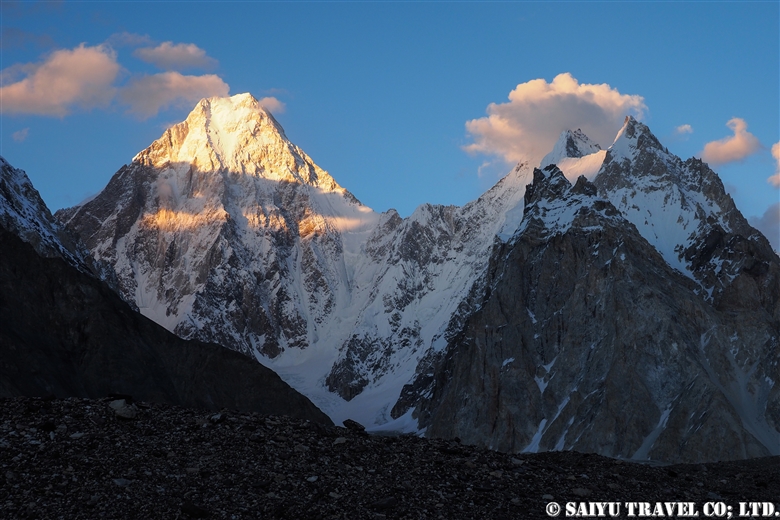
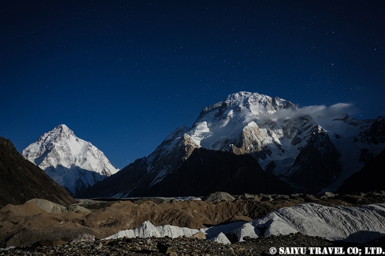
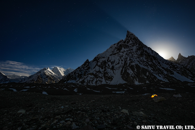
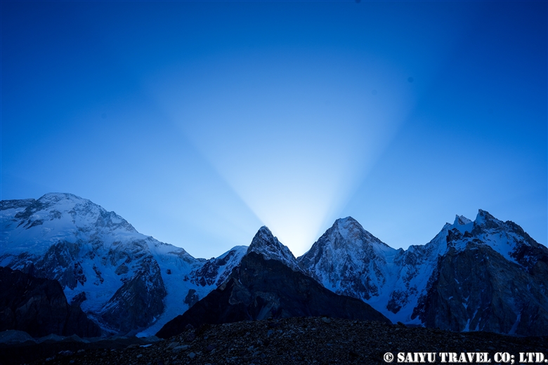
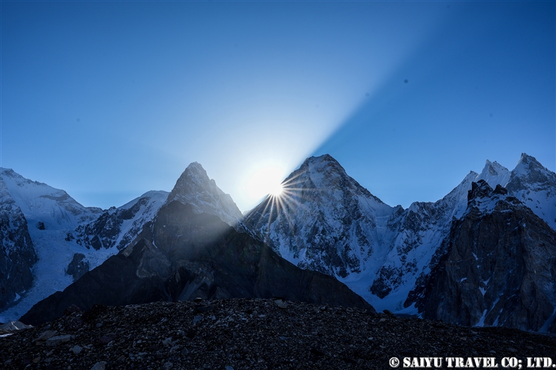
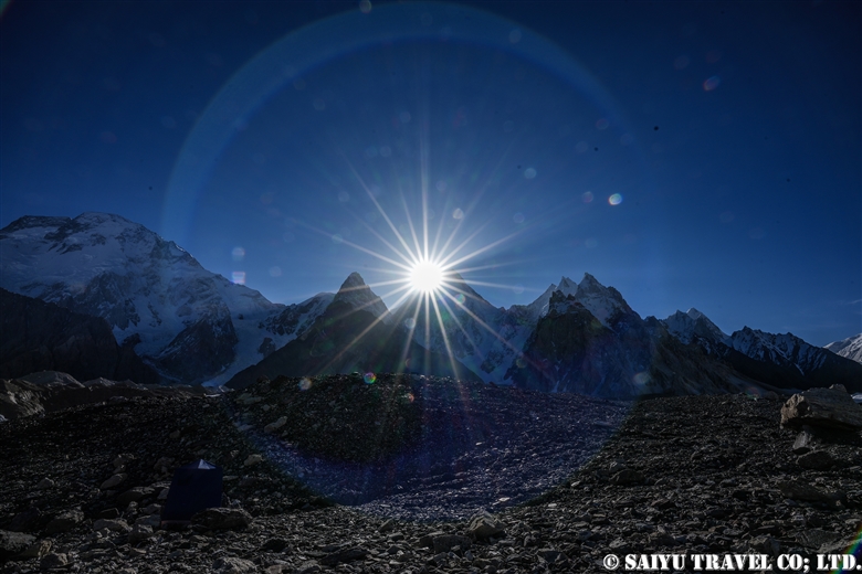
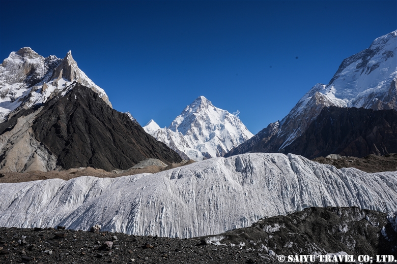
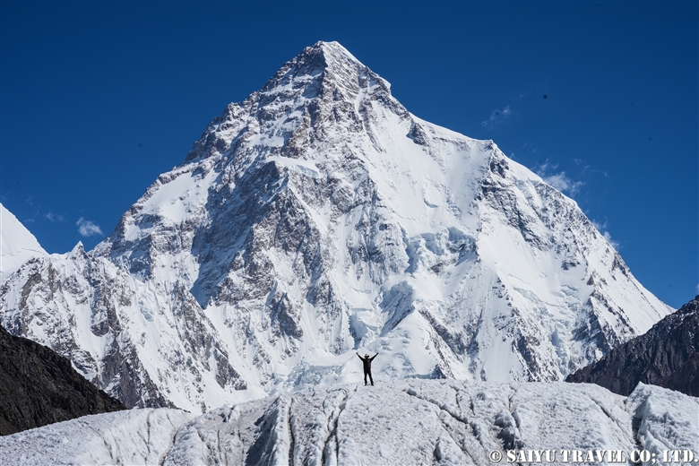
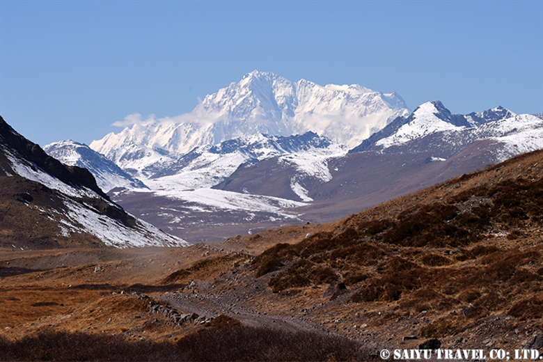
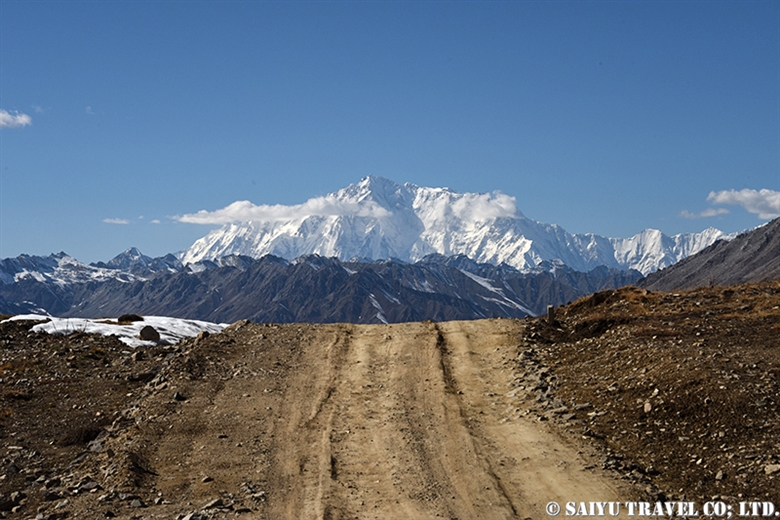
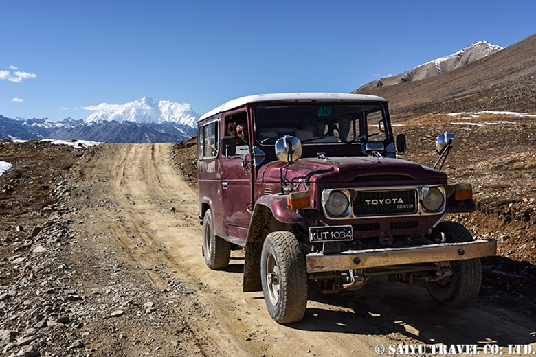
Image by Mariko SAWADA
A big thank you to the the whole Baltoro Glacier trekking team for working with us!
Related article
Youtube : CONCORDIA 360 DEGREE
K2 & Baltoro Glacier Trekking 2022 (Part 1) Skardu to Paiju
K2 & Baltoro Glacier Trekking 2022 (Part 2) Paiju to Khoburtse
K2 & Baltoro Glacier Trekking 2022 (Part 3) Khoburtse to Urdukas
K2 & Baltoro Trekking 2022 (Part 4) Urdukas to GoreⅡ
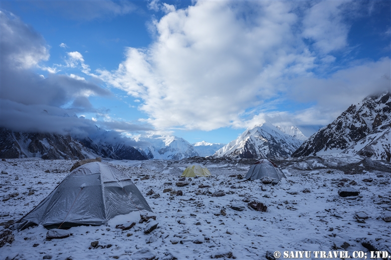
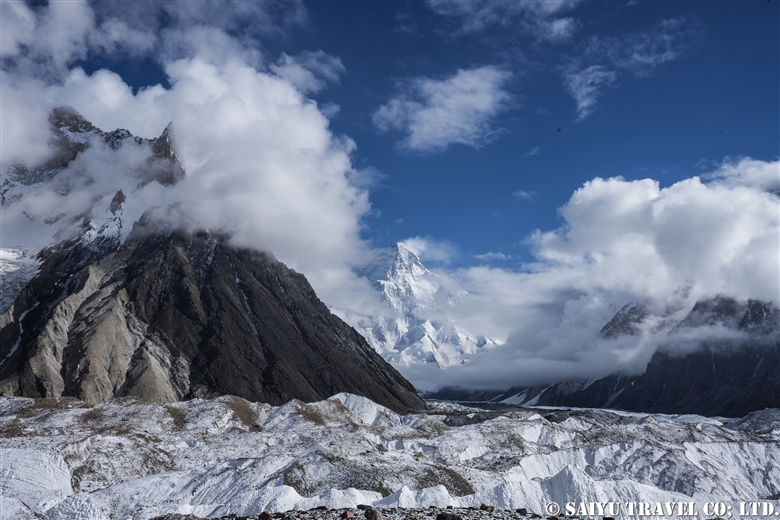
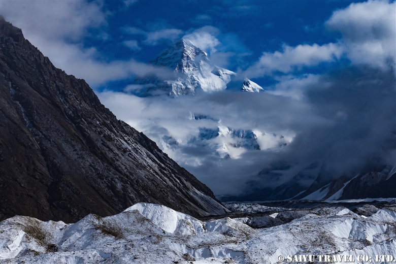
K2 & Baltoro Trekking 2022 (Part 5) GoreⅡ to Concordia
★★★★★
*Contact us, Indus Caravan for more information or to make arrangements for your Baltoro Glacier trek.
Category : - Baltoro Glacier & Concordia > = Video Clip Gilgit-Baltistan > ◆ Video Breathtaking Views of Pakistan > - Baltoro Glacier & Concordia > ◆ Gilgit-Baltistan > ◇ Mountain of PakistanTag : K2 & Baltoro Trek , GoreⅡ , K2 , Pakistan Travel company , Gore2 , Pakistan Blog , Pakistan tour operator , Gasherbrum , Pakistan Travel Blog , Pakistan Photography Tour , Mustagh Tower , Sheosar Lake , Baltoro Glacier , Travel Pakistan Blog , Baltoro Trekking , Indus Caravan , Concordia , Broad peak , Saiyu Travel Pakistan